


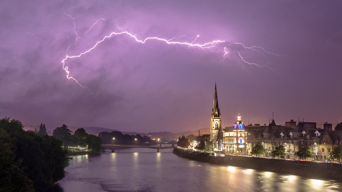

Areas in the UK are set to experience heavy showers, thunderstorms, and hail on Wednesday, potentially leading to power outages and flash floods. The Met Office has issued a new yellow weather warning for thunderstorms, cautioning about possible damage to buildings from strong winds, floodwater, lightning strikes, and hail.
The warning will be effective from 10 am until 9 pm, affecting parts of northern Scotland. Forecasters anticipate slow-moving showers and thunderstorms with the potential to cause 20-30mm of rain in 1-2 hours and up to 50mm in some areas over 3-6 hours, which could result in localized flash flooding and disruptions to transportation networks.
Apart from property damage and flooding, the Met Office has highlighted the likelihood of challenging driving conditions, road closures, and possible delays and cancellations to train and bus services. There is also a slight risk of power cuts and service disruptions to homes and businesses.
To prepare for the adverse weather conditions, individuals are advised to secure outdoor items, gather essential supplies like torches and mobile phone power packs, and remain vigilant. Various regions in the UK, including Central, Tayside & Fife, Grampian, and Highlands & Eilean Siar, are expected to be affected.
Northern Ireland is also under a yellow weather warning for thunderstorms until 9 pm, with potential disruptions to travel, outdoor events, and the risk of flooding and power outages. Meanwhile, firefighters in England and Wales are combating wildfires as temperatures remain high without precipitation, leading to drought conditions in parts of both regions.