


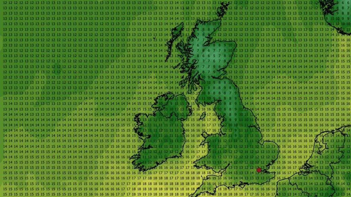

New weather maps reveal a sudden cool spell approaching, bringing an end to the recent heatwave across the UK.
On Friday, temperatures soared to 31.3C in Ross-on-Wye, Herefordshire, and 30.8C in Usk, Monmouthshire, under clear skies, marking another day of scorching heat.
However, meteorologists predict a swift change in weather patterns, with a significant drop in temperatures expected as early as Sunday due to a shift in wind direction. The recent heatwave was influenced by a warm air mass known as the “Sahara plume” moving across the UK from Africa and mainland Europe.
The latest WXCHARTS maps, utilizing MetDesk data, indicate a cooling trend with green hues representing lower pressure areas. Scotland and Northeast England are likely to experience the most rapid temperature changes, as noted by the Met Office and reported by Express.co.uk.
In contrast to the UK, parts of Spain and Italy are set to swelter with temperatures soaring up to 44C by Thursday.
The Southwest of England will enjoy the best of the warmth and sunshine at the beginning of the week, with temperatures not expected to exceed 16C, a stark difference from Friday’s peak temperatures.
Meanwhile, the Met Office warns of potential showers in the northern regions of the country, stating, “Patchy rain possible in the north where cloud thickens.”
According to MetDesk data, 35 counties, including Greater Manchester and Lancashire, are expected to experience temperatures below 10C in the upcoming days starting from Sunday.