



Forecasters are anticipating a drop in temperatures this weekend as the UK’s third heatwave of 2026 comes to an end. However, weather projections indicate that it won’t be long before temperatures rise again, possibly reaching the mid to high-30s.
The Met Office predicts that peak temperatures will hover around 30C or 31C until Saturday before significantly decreasing on Sunday, with highs of 25C expected in southern areas and 22C in the north.
Despite the upcoming cooler weather, conditions are expected to remain dry and settled over the weekend, with increasing cloud cover. While temperatures are forecasted to drop closer to the seasonal average, the Met Office assures that the weather will still feel pleasant in sunny spells.
According to the latest GFS weather model, temperatures could climb back up to 36C the following weekend. On July 25, highs of 34C and 35C are projected in western England, 33C in Wales, 34C in the Midlands, and 34C in the south-east.
On July 26, temperatures could soar to 36C in the east of England, with potential highs of 34C to 35C reaching as far north as South Yorkshire.
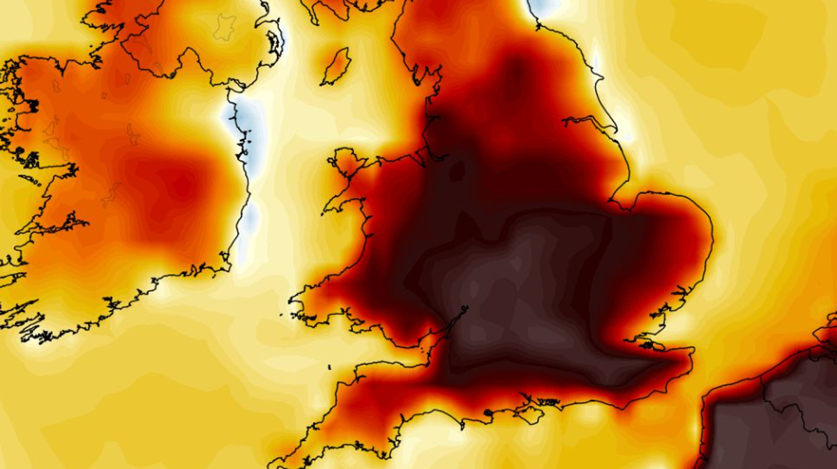
Maps showing temperature anomalies for that weekend indicate that the UK is expected to experience above-average temperatures, with regions shaded in orange and red.
The GFS model maps highlight that nine counties in England may see temperatures of 35C or higher later in the month.
The Met Office also foresees temperatures staying above average towards the end of July, with an increased likelihood of thunderstorms.
The Met Office’s forecast for July 19 to July 28 suggests that the influence of high pressure may lessen, allowing for a greater chance of rain, showers, or thunderstorms compared to earlier in the month. Overall, temperatures are predicted to stay above average during this period.