


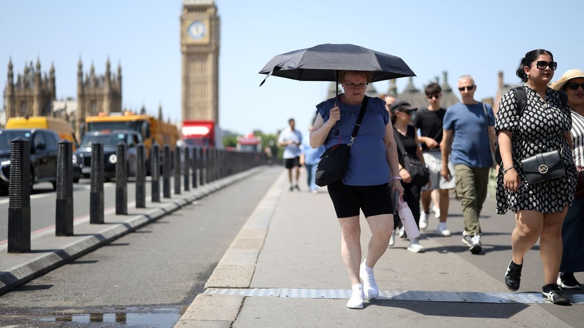

After experiencing three scorching spells this year, the UK is set to see a relief from the high temperatures as the current heatwave comes to an end. The Met Office predicts that the peak temperatures will gradually decrease over the upcoming weekend.
Meteorologist Aidan McGivern, in the latest Deep Dive weather forecast by the Met Office on YouTube, explained that a shift in high pressure will lead to a drop in temperatures by Saturday and Sunday. While temperatures will remain above average, the expected cooling trend will bring relief from the extreme heat experienced recently.
By the end of the week, high pressure is expected to move towards the north-west, allowing cooler air to circulate around it. Although temperatures will still be relatively warm, they are anticipated to be lower than the previous scorching days. The highest temperatures this weekend are forecasted to be in Wales and the south-west, with milder temperatures expected in the east and north regions.
The latest Met Office forecast indicates that southern areas could reach highs of 29°C on Saturday, while northern regions may see highs of 24°C. By Sunday, temperatures are projected to drop further to 25°C in the south and 22°C in the north.
BBC weather forecasters also anticipate a decrease in temperatures towards the end of the week, with a possibility of some rain in certain areas. Their forecast suggests that Friday will be less warm, with varying cloud cover in the north and sunny conditions elsewhere. Saturday is predicted to bring more cloud cover, especially in northern and eastern regions, with potential light rain or drizzle along the North Sea coast. Sunday is expected to be mostly dry with intermittent cloud cover and a slight chance of showers in western England.