


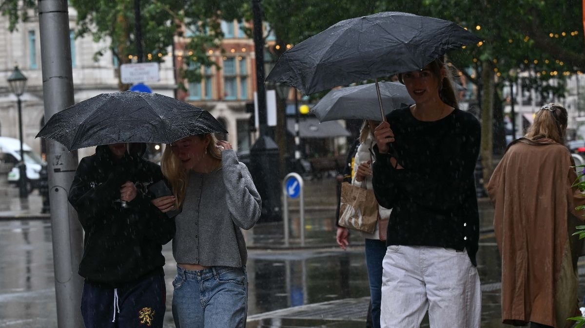

The Met Office has announced the possibility of rain and thunderstorms hitting various parts of the UK in the upcoming week, signaling a departure from the dry summer experienced so far. The country has encountered four heatwaves in 2026, leading to drought conditions in July and continuing into August. A combination of low rainfall, prolonged heatwaves, and widespread drought has resulted in challenging weather conditions nationwide.
However, the beginning of August may bring relief as some much-needed showers are expected to fall across certain regions. A low-pressure system spreading across the nation from Monday could bring rain and potential thunderstorms in some areas, with heavy rain expected in the north and lighter showers in the south.
Despite the forecast for rain, the start of August is predicted to remain warm across England and Wales, with the possibility of temperatures exceeding 30°C. The Met Office Chief Forecaster, Chris Bulmer, mentioned the return of warmer conditions but with the likelihood of showers or thunderstorms in some places, particularly in the south where rain amounts may be limited. Cooler temperatures are expected in the north, with the potential for heavy rain, especially in parts of Scotland.
Following a month where some parts of England saw less than 1mm of rainfall, half of England and the entirety of Wales were declared to be in drought. Seven areas in England, including the Thames Valley, East Anglia, and London, as well as regions in Wales, are currently experiencing drought conditions. This marks the third drought in the UK over the past five years, with 2022, 2025, and 2026 all witnessing such circumstances.
Helen Wakeham, Director of Water at the Environment Agency, highlighted the severity of the situation, emphasizing that the hot and dry weather is causing water usage to outpace replenishment rates. A second consecutive summer drought poses significant challenges with long-lasting impacts on the environment, wildlife, and the economy.