


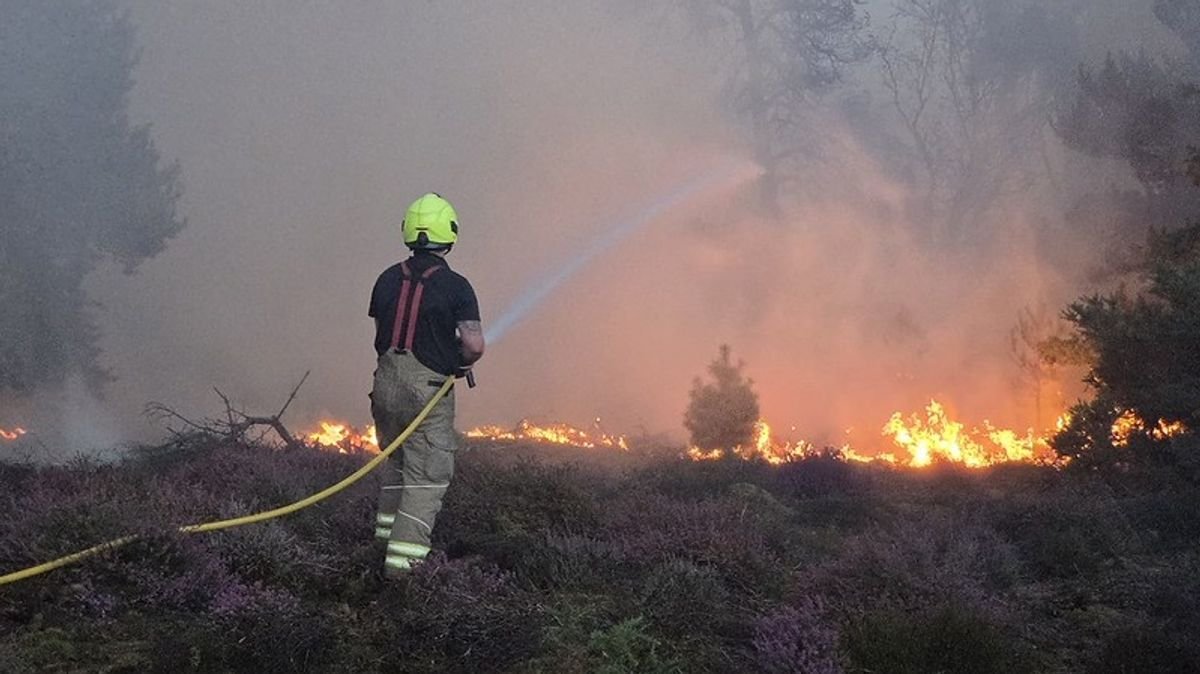

A recent map highlights areas in the UK that face a heightened risk of wildfires, particularly near the country’s largest nuclear power station where efforts are ongoing to contain a fire outbreak. Despite some progress reported by Suffolk Fire and Rescue Service in managing the blaze near Sizewell B at Dunwich Heath, the situation remains dynamic.
The ongoing battle against devastating wildfires, exacerbated by the prevailing climate crisis and a particularly dry year with frequent heatwaves, underscores the urgent need for vigilance. An analysis based on data from the Moorland Association has identified regions across the UK most susceptible to wildfires.
The High Peak constituency in Derbyshire emerges as the most vulnerable area, marked by a significant moorland fire at Tintwistle Moor that first ignited on June 24. Other at-risk locations include Calder Valley in West Yorkshire and Tiverton and Minehead along the Devon-Somerset border.
Notably, western parts of England and Wales, along with extensive areas in Scotland, face a heightened risk of wildfires due to prevailing conditions. The Environment Agency’s recent declaration of drought affecting half of England due to soaring temperatures and minimal rainfall underscores the severity of the situation.
Firefighters are actively combatting intense blazes across the UK, including incidents in Greater Manchester, Derbyshire’s Tintwistle Moor, and Scotland’s Cairngorms National Park. In Europe, Spain declared a national emergency as merged wildfires necessitated evacuations, while France also faced wildfire threats.
Amidst differing perspectives on the causes behind the escalating wildfire risks, experts stress the critical role of climate change and ecosystem degradation. Efforts to prevent fires, enhance public awareness, equip fire services adequately, and foster resilient landscapes are essential in mitigating the impact of wildfires.
The Moorland Association’s assessment of fire hazards factors in vegetation density, climate conditions, and terrain characteristics, while also considering exposure risks to property and habitats. Evaluating vulnerability includes assessing the preparedness of sites, considering factors like housing age and resident demographics.