



Parts of the United Kingdom are set to experience scorching highs of 35C today, as per the latest forecast from the Met Office. However, a shift in weather is looming on the horizon, with temperatures expected to drop significantly next week according to the GFS weather model.
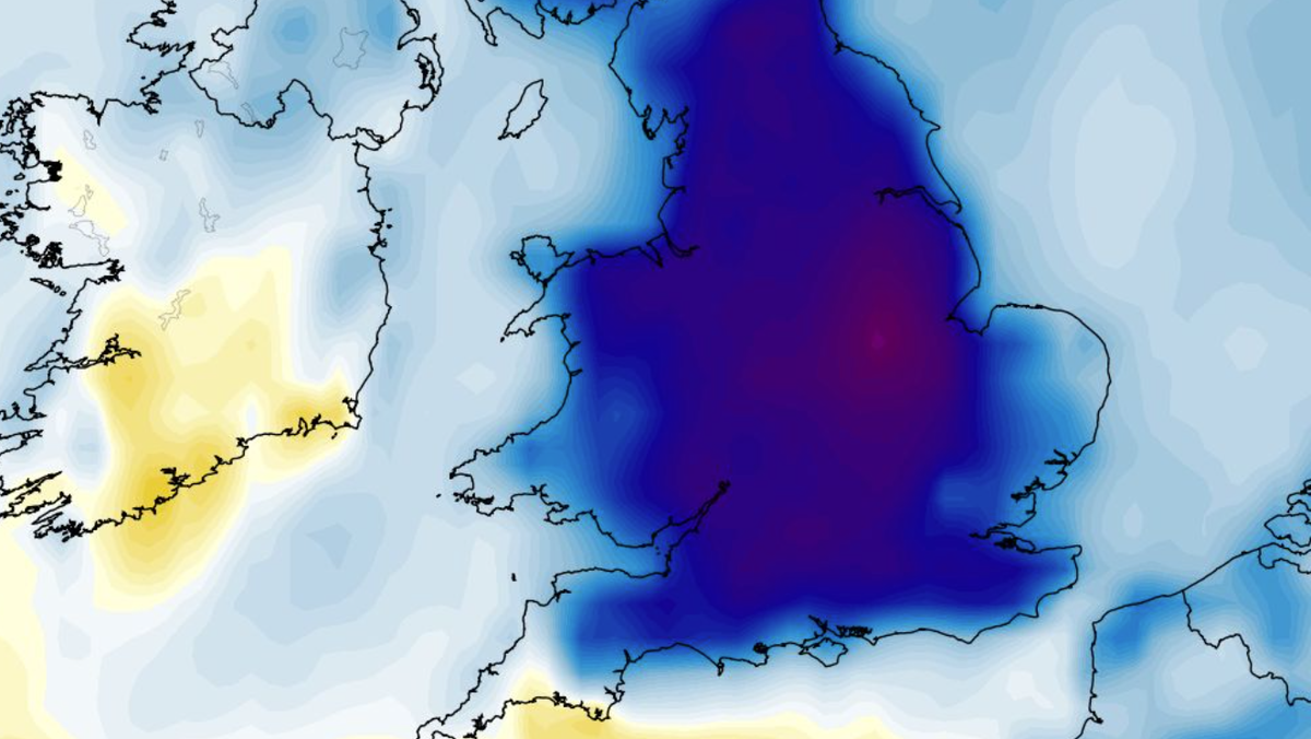
The anomaly maps show a cooling trend for Tuesday and Wednesday, with temperatures dipping well below the usual averages. Projections indicate potential highs of only 16C in the south-east, 14C in South Wales and the Midlands, 12C in Northern Ireland, and a plummet to 7C in parts of northern Scotland.
Throughout the day, temperatures are unlikely to rise substantially, with the warmest spot being the far south-west at 19C. Conversely, northern England could see temperatures as low as 9C. Wednesday doesn’t promise much respite either, with temperatures as low as 6C in northern Scotland, 8C in northern England, 9C in Northern Ireland, and 14C in the south-east.
The GFS model highlights that 22 counties could witness daytime temperatures below 10C across the two days, mainly in Scotland, Northern Ireland, and the north of England. The Met Office anticipates “changeable” conditions in the upcoming week, with a potential low-pressure system affecting the UK early in August, bringing spells of heavy rain and strong winds in some regions. However, a return to more settled conditions is expected towards the end of the first week of August.