


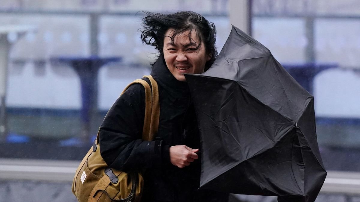

The Met Office has pinpointed 22 regions set to face heavy rainfall this weekend, bringing an end to the recent heatwave. A low-pressure system will move eastward, causing temperatures to drop significantly. While some areas in northern England will experience intense downpours on Sunday, the East of England will see lingering showers in the evening. The rain comes as a relief after a notably dry July and June, with over 18 million people potentially impacted by upcoming hosepipe bans.
According to the Met Office, these weather patterns are becoming the new norm. Climate information scientist Mike Kendon stated that the UK’s record-breaking warmth in recent years is expected to continue, with temperatures rising approximately 0.25°C per decade since the 1980s. The unsettled weather will persist into the following week, with rain forecasted for Monday, particularly in northwest Scotland.
Looking ahead, the national weather service anticipates a mix of sunny spells and scattered showers across the country. While rainfall may concentrate in northwestern regions, some showers are also likely in southeastern areas. Winds will generally be light, with temperatures remaining near or slightly above normal, potentially reaching very warm levels by early August.
Current weather conditions vary across the UK, with cloudy skies in the north and the possibility of light rain, while other areas can expect dry, sunny weather with warm temperatures. The forecast for the upcoming days indicates continued settled conditions with occasional cloud cover and showers in the north, alongside warm weather in the south. Widespread rain is expected to move into the north on Saturday.