


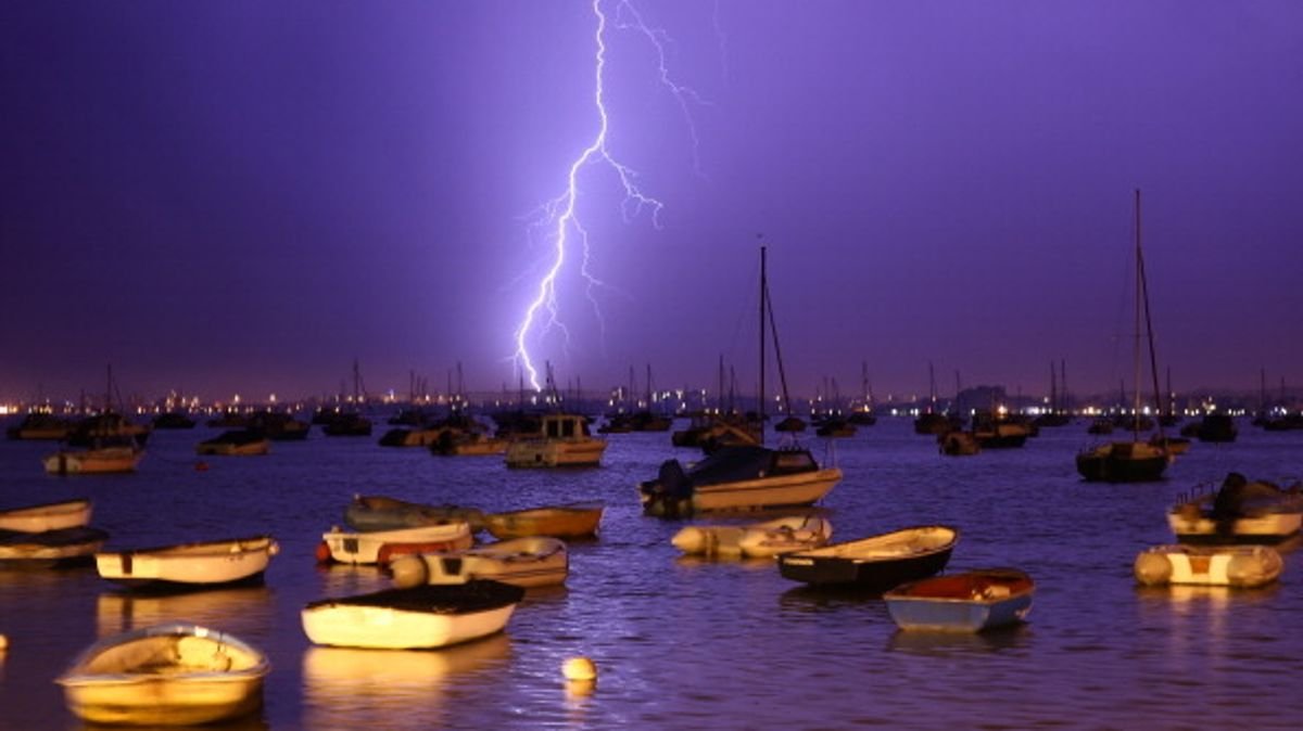

Vivid weather maps reveal the upcoming interruption of scorching sunshine by thunderstorms.
A temporary break from the dry summer is on the horizon for many in the UK as rain showers are expected to provide relief. Some regions in the country experienced minimal rainfall in July, leading to official drought declarations in more than half of England and all of Wales.
The UK has encountered four heatwaves in 2026, resulting in wildfires wreaking havoc in various areas such as Suffolk, the New Forest, Hampshire, Berkshire, Oxfordshire, and Dorset. However, a significant amount of rain is anticipated in the coming days as weather experts from Ventusky, using data from Metdesk meteorologists, outline the regions where weather conditions are expected to shift.
On Tuesday, a low-pressure system will stretch across the UK from the southwest, bringing potentially heavy rain to northern parts and showers in the south.
This weather pattern will reintroduce warmer and more humid air to England and Wales, with temperatures likely to surpass 30C in some areas. Thunderstorms are expected in certain regions, with indications pointing to possible thunderstorm activity in Northern Ireland around 4am. Cumbria and the Northeast of England may also experience thunder and heavy showers, as a low-pressure area extends over much of Scotland.
By 7am, the rain will progress to north Wales, with storms anticipated in parts of the Northwest of England. This wet start to Tuesday will extend to the Midlands and as far south as Devon and Hampshire.
The maps at 10am suggest that thunderstorms may occur in sections of Cumbria and again in Scotland, while rain moves over eastern England, with predictions of rainfall in areas like Berkshire and Birmingham. By 4pm, there is a possibility of storms returning over the Irish Sea, with Belfast potentially being affected.
No official weather warnings for rain or thunderstorms are currently in effect.
Met Office Chief Forecaster Chris Bulmer stated: “Weather conditions will shift early next week, bringing warmer temperatures back to England and Wales, potentially accompanied by showers or thunderstorms in some areas.
“However, areas in the south might experience minimal rainfall. Cooler temperatures will persist in the north, with a likelihood of heavy rain buildup, particularly over parts of Scotland.”
The UK Health Security Agency has issued heat alerts for several areas starting from Sunday, August 2, until Wednesday, August 5, at 9am.
The UK has been facing soaring temperatures round the clock, with extreme heat sweeping across the nation, resulting in record-breaking temperatures and three heatwaves this summer.
<p class="Paragraph_paragraph-text__PVKlh" data-tmdat